Crossing Cook Strait in Zephyrs With Mike and Finn Drummond
– Article by Finn Drummond
About six months ago dad asked if I’d be interested in crossing Cook Strait in Zephyrs. He said he’d been thinking about it for a couple of years. I agreed that this was a great idea and we set about planning.
There is a little bit that goes into planning a crossing. We decided on aiming to go from Picton to Wellington over two days. We planned to stay overnight on Arapawa island near the entrance to Tory Channel. Dad and I both reached out to people in our networks who were familiar with this stretch of water. Graeme Henry (#160) was especially helpful. There are a few factors that need to line up for a crossing. Here are the main three in my opinion:
Firstly, the weather. Dad found a wind rose diagram of average wind speeds and directions from Predictwind. Basically there are only two directions in the Strait due to geography. N to NW or S to SE. both good directions for reaching across. What the wind rose also shows is that less than 10% of the time is the wind below 10kts. Our challenge was to pick a weather window that had enough wind. We monitored the forecasts everyday for a few weeks to gain confidence in their reliability.
Secondly, the tides. To get out of the Tory Channel entrance in a dinghy you need the tide with you. High tides at Tory Channel and Wellington Harbour are at different times. There is good information from Maritime NZ and a couple of the Wellington Yacht Clubs online. The tides in the area are very changeable in direction and strength, being affected by weather systems, spring or neap tides and even the prevailing wind. Tides along the Wellington coast can reach up to 7kts and 4kts at the entrance to Tory Channel. Preferably we wanted the tidal gate to open early in the morning to reduce the risk of sailing in the dark at Wellington.
Thirdly, the Karori Rip. Wellington mariners that cruise the area between Cape Terawhiti and Sinclair Head will know this notorious patch of water well. As one said to me: ‘Sometimes there can be no wind, big standing waves and you’re taking green water over the bow, and at others it’s flat as a pancake and you’re wondering what all the fuss is about’. This area is shown on the charts to have strong tides, eddies and standing waves. The sea floor rises up from deep to shallow quickly and this is said to create a strong vertical component in the current, leading to upwelling and potentially rough sea conditions. The rip is generally worse during spring tides, wind against tide and at full tidal streams. Maritime NZ suggests traversing this area at slack water. There was an option for us to go south around the rip, or straight across to Cape Terawhiti and sneak inside it along the coast. We both decided after talking with a few people this was our preferred option.
Onto the trip itself. We finally got what looked like a good weather window. We made the call on a Monday in early April to aim for a Wednesday/Thursday trip. Dad and Caz drove down from Auckland to Picton, getting into Picton midnight Tuesday. We rigged up Wednesday morning, faffed around a bunch sorting through all the gear to take and got on the water from Picton Yacht Club about midday. Our safety gear included VHF’s, AIS transponders, EPIRB and Inreach, flares and nav lights. We taped laminated charts to the inside faces of the cockpits. Dad mounted electronic compasses to both boats, which proved useful with setting our heading across the strait.
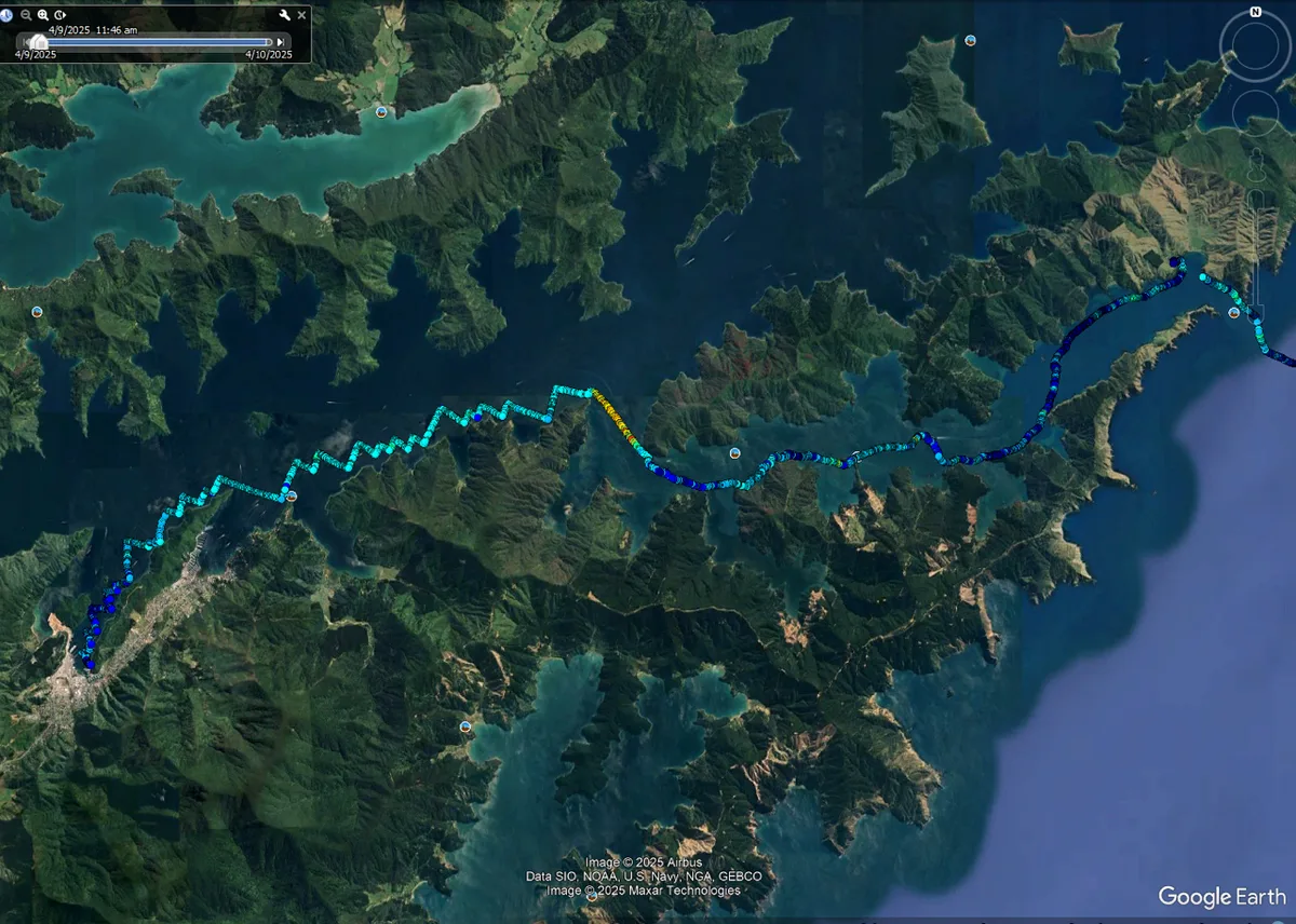
Getting out of the Marlborough Sounds is about half the journey. We left Picton in a light NE and tacked our way up to around the end of The Snout. At which point the breeze built to a strong 15 – 18kts and we slogged our way upwind to Dieffenbach Pt, sticking to the south side of Queen Charlotte Sound. Dieffenbach Pt is where Tory Channel meets Queen Charlotte Sound. We got a great, but fleeting blast reach into Tory Channel. As we got into the lee of Arapawa island the breeze faded. We crossed over to the south side of the Channel which had a little more breeze. We then honed our light air rocking and pumping skills over the next three hours or so as we made our way out.
It’s cool sailing along Tory Channel. The area has a storied history. We sailed past Pa sites and many mussel and salmon farms. The old Perano whaling station base is near where we stayed. Whaling was a big part of the area for over 100 years until 1964. Curiously one of the environmental upsides of the oil industry is it saved the whales from going extinct – replacing many whale oil products with petrochemical ones. We stuck pretty close to the shoreline to try our best to stay out of the incoming tide, tacking between 5 and 25m from shore. Kelp forests extend out from most of the points. In reality the water can be quite deep (10m or so) but the kelp extends its way up to the surface. We sailed through many and were constantly pulling weed from our rudder and centreboards. By the time we were nearing our destination at Okukari Bay the moon had risen and the sky had started to dim. The tide had just about turned when we crossed back to the northern side of the channel. We were aware that we needed to keep sailing (rocking, really) well, as neither of us fancied being sucked out the Tory Channel entrance in the dark. We eventually pulled into the bay just on dark, thankfully out of the grip of the outgoing tide. We lifted our boats up above the high tide line and jumped in the ATV to our lodgings. 22nm, 100 tacks and nearly 7 hours.
Our accommodation at Okukari Bay was awesome. It’s an old farmstead run by a paua diving, pearl growing family. The leading lights for boats navigating their way into the channel are located here with a small collection of buildings. We stayed in ‘The Schoolhouse’ – Which I presume was actually the schoolhouse for whaler’s kids. There was a whale vertebra about a foot wide on the table. I’d packed ingredients for steak sandwiches for dinner.
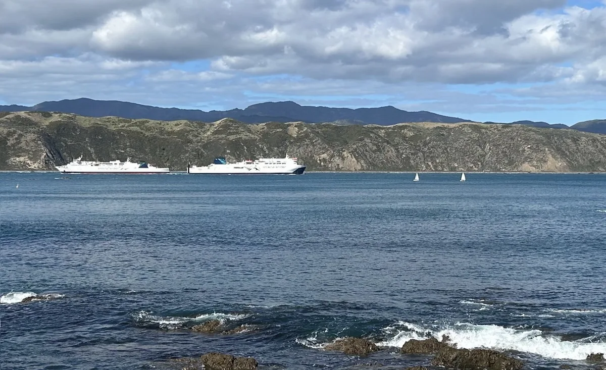
Day two. Mike and Antonia who run the place cooked us some eggs and gave us a goodie bag of cookies for the crossing. Our aim was to be on the water at 8am, to catch the turn of the tide. This gave us an 8 hour window before the tide off Sinclair Head would turn against us. We drifted off the beach into the channel. Two ferries passed us on our way out, and we let them know our intentions to stick to the north side on the VHF.
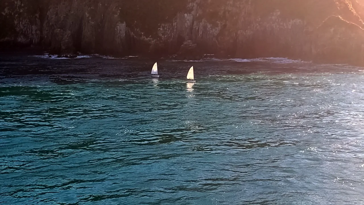
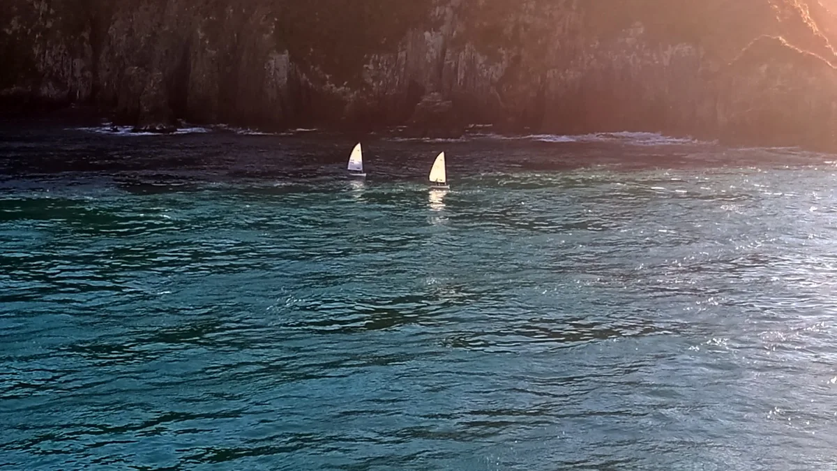
15 minutes or so later we were being pulled through the turbulent water at the heads. Little eddies and whirlpools swirled around us. A diving petrel darted around underwater, searching for food. We bobbed into the swell, and got a good view of the lower North Island.
After clearing the heads we slowly rocked our way downwind in a light SE breeze. It was hot and sunny and we both had full wetsuits on. We aimed for Cape Terawhiti. Dad noted that the swell was from the NW. A wind line seemed to sit a mile or so in front of us for a long while. The updated forecast was 10kts NW. An hour into rocking our way downwind, we finally reached the windline which had started coming towards us. A 180 degree shift, for a moment dad and I sailed the same direction on opposite tacks, 20m apart. Two minutes later we were fully hiking in the new NW breeze. And blast reaching at a nice angle, all the way towards Cape Terawhiti is how it continued. The swell kicked up a bit. Not too big, but enough for the bigger waves to take body shots while reaching along. An absolute glamour really. Sun out, 15-18kts and big surfing waves. No tacks or gybes for the next 4 hours!
One thing we had overlooked was that we didn’t really have great means of taking pictures or recording our trip. We each had phones, though they were tucked away in water proof cases and I only chanced getting mine out a couple of times. We were lucky to have Caz, and also by chance Richard Brown who took some pictures from the ferry as we went through the heads at Tory Channel.
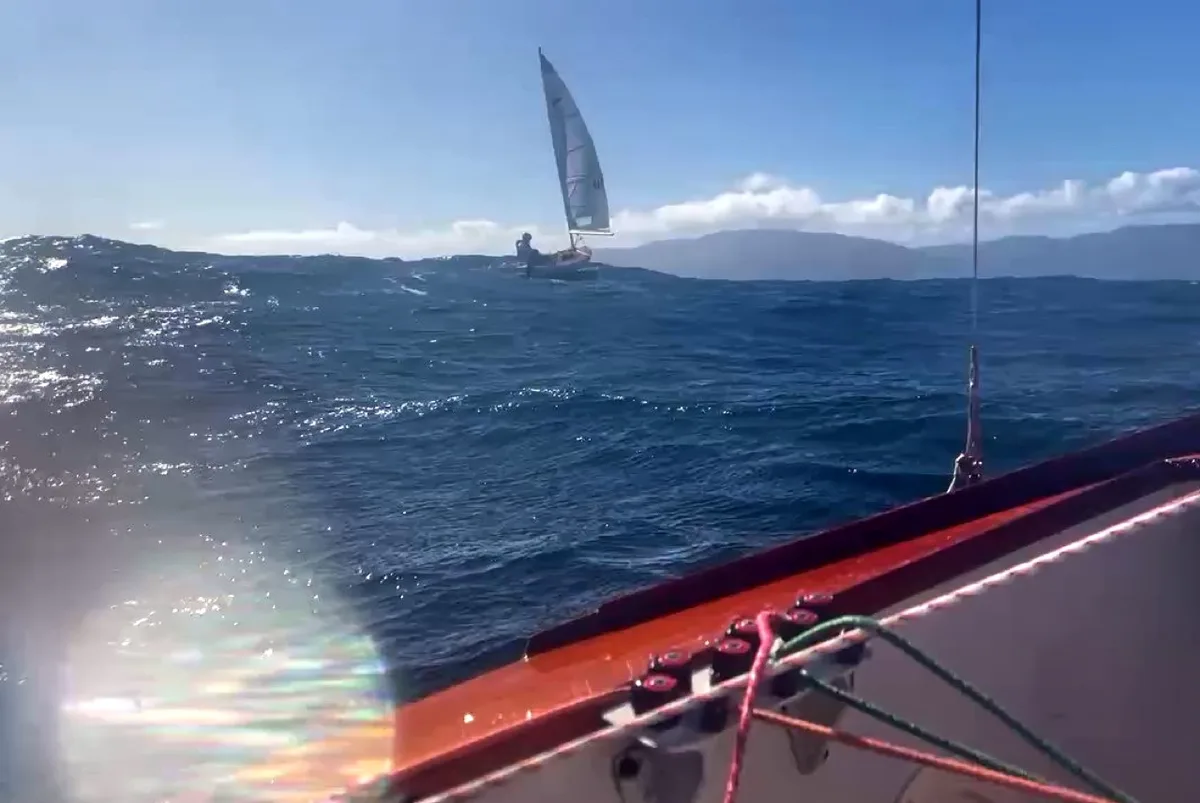
We had one cruiser to leeward on the way across. They gained on us in the earlier lighter wind and then we seemed to extend away while we were reaching. We chatted about which point we thought was actually Cape Terawhiti when we stopped for a bite to eat, changed some clothes and let a ferry cross us. Some of the ferries would have seen us three times over the two days at various points in our crossing. The tide was running SE along the Wellington coastline. We ended up hitting the coast just south of Cape Terawhiti, and right in the Karori Rip area. Fortunately, but unsurprisingly it was nothing major to contend with, with wind and tide running in the same direction. So we decided to stay outside Karori Rock, marked with a large tall cylindrical pinnacle. This was a bit of a milestone for us. And we were now broad reaching to nearly flat running. All the way to Sinclair head. Might have got some puffs around 20. I eyed the speedo trying for a PB. It was something around 13 kts I think. Through this section we had a couple of knots of tide with us and often could see the tide lines distinctly as the waters around us shore over one another.
Around Sinclair Head we got a view of some baches and a look towards Lyall Bay and the outer Wellington area. Somewhere before the cape we put our first gybe in. In the lee of the Cape the wind got quite light and shifty, 0 to 20kts. Dad sailed into a lull and went from full hiking to stuck in his straps and rolled over to windward. Somehow the inflator on his lifejacket must’ve got caught because it blew up like a big marshmallow. Seemed to make it rather challenging to get back in the boat. Also a discovery that neither of us had thought of was the drybags were clipped to the control lines, when the boat is upside down or on it’s side they tighten the controls, including the vang. Which also didn’t make it easy to get the boat upright. Good learning for Foveaux perhaps?
Finn Tory. Supplied by Mike and Finn Drummond
We had a mix of upwind to reaching to downwind until the reef just off Lyall bay. The charts printed and mounted in the cockpit were quite useful here. Familiar territory to many, but not to us. Some good gusts and we rounded the southern point of the reef and finally could see up into Wellington harbour. The wind was up and we had one final slog up towards Worser Bay. Some ferries went past. Fortunately it had been a brisk crossing and the tide was still with us, pushing us upwind. Pretty cool to see the yacht club come into sight and Caz there with the trailers! Thanks Caz for being our excellent support crew for the weekend. She took the ferry with the road trailer with beach trolleys back to Wellington and we had a celebratory coke on arrival. Mission complete. 30nm and 6 hours.
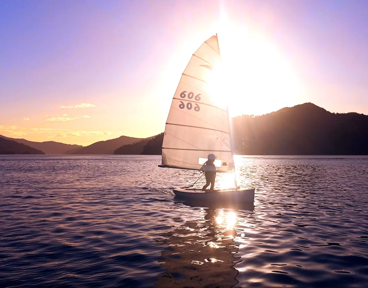
Part of me enjoyed the trip for using boats for what they are intended for – travel. I remember sailing around Auckland to a few regattas in the 470 and how it made me realise the places you could go, that really weren’t too far away. Actually, dinghy sailing is pretty good fun even if one isn’t racing. It’s a great way to explore.
Thanks very much to Brian Baker for loaning Zoe B (#605), and not blinking when told why:).
Also thanks to Caz for the logistics, food, encouragement and support, dad for having the idea and doing the organisational heavy lifting, Hannes Hille (#185) for lending me a boat for training, Bob McDavitt for a weather window, and Craig Shearer, Chris Shaw and Jan Eveleens who I talked with for tips and knowledge of the area.
See more Live Sail Die in Google: add us as a preferred source
Comments